Site: Terrestrial Field
Lat/Long:
45.75 -99.74
Why This Location
Terrestrial storage is the process of removing atmospheric carbon dioxide (CO2) through plant photosynthesis, leading to storage in biomass and soils. In addition to offering potential as a means to mitigate greenhouse gas (GHG) emissions, terrestrial storage options frequently provide opportunities for the improvement of soil, air, and water quality.
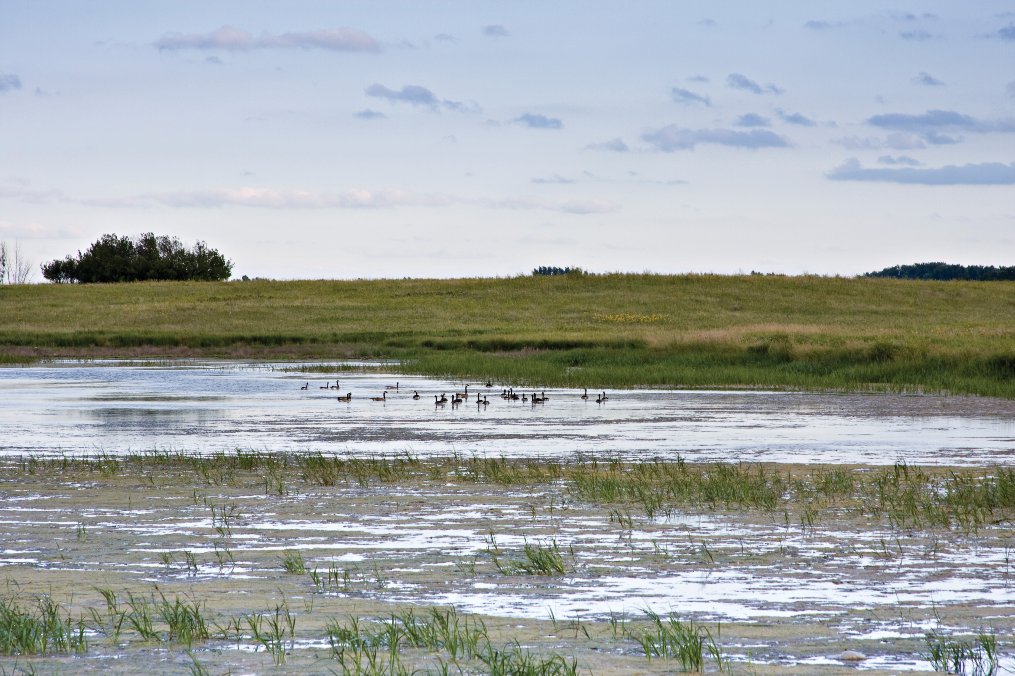
Phase I of the Plains CO2 Reduction (PCOR) Partnership identified the restoration and maintenance of wetlands as a significant regional terrestrial storage opportunity, capable of achieving CO2 storage in relatively short time frames. The Phase II field validation test developed the technical capacity to systematically identify and apply alternative land use management practices to the prairie pothole ecosystem, including both wetland and grassland catchment areas. Fieldwork across selected locations in Montana, North and South Dakota, Minnesota, and Iowa contributed to the technical assessment, in collaboration with Ducks Unlimited, the U.S. Geological Survey Northern Prairie Wildlife Research Center, and North Dakota State University.
Research Q&As Discovered
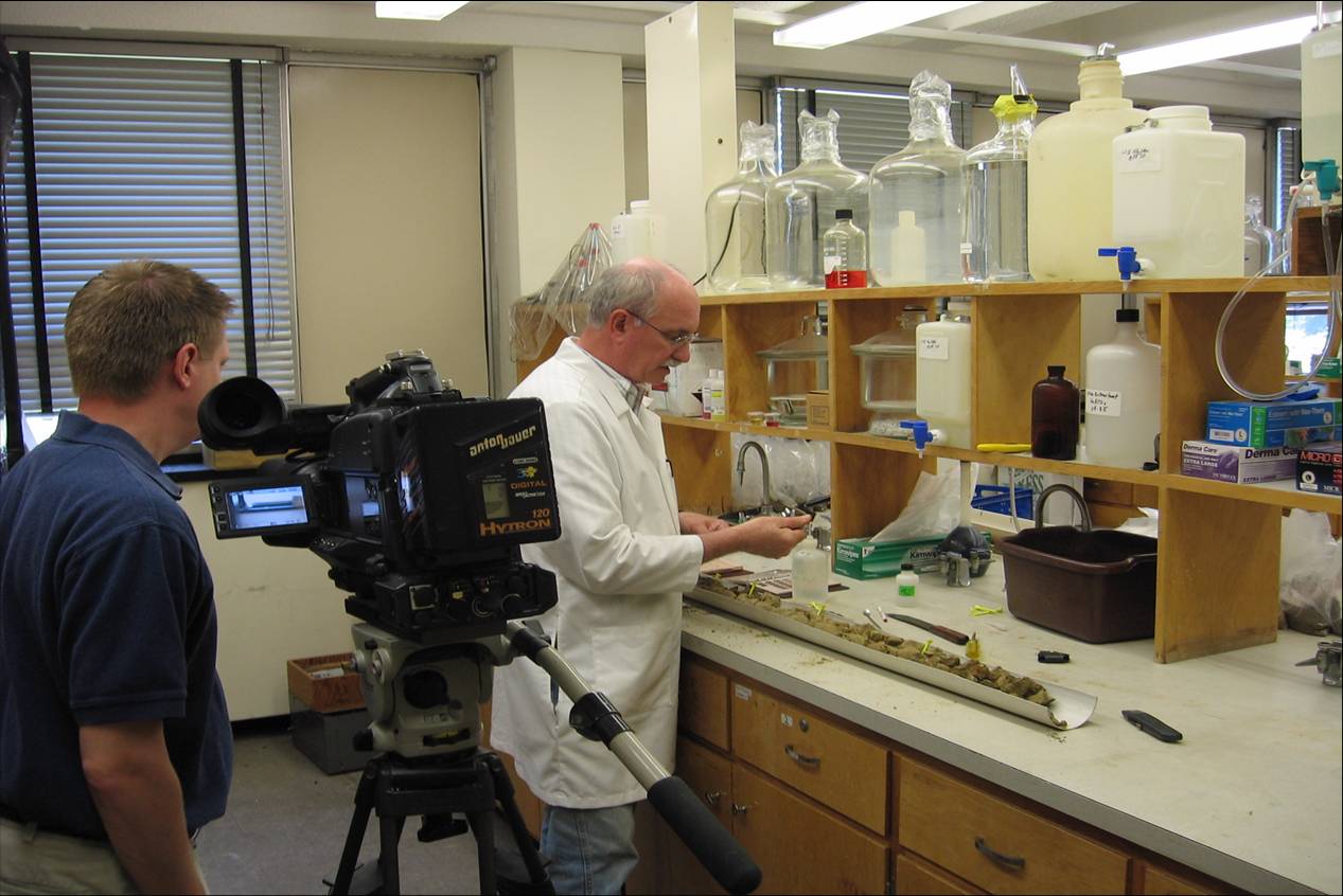
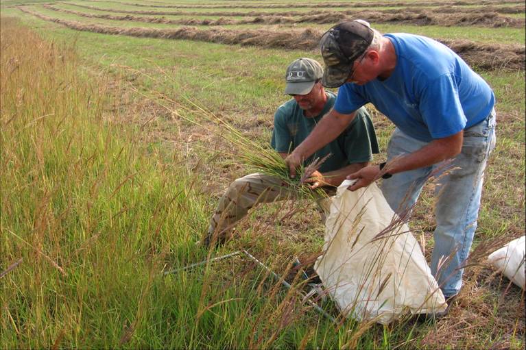
Can field measurements inform terrestrial storage assessment? Sampling of soil and gas from various lands, including native prairie, restored grassland, cropland, and wetland, provided the basis for calculating the amount of carbon stored by various land uses. Field tests also measured the flux of relevant gases (such as methane or nitrous oxide) across the soils of these land types, allowing calculation of the true greenhouse gas (GHG) mitigation benefits to inform carbon credit schemes. The accompanying map shows the location of Phase II field study points across the region.
What is the greenhouse gas mitigation potential of terrestrial storage in the prairie pothole ecosystem? Phase II work demonstrated that restoration of cropland to grassland could store 0.4 metric tons of previously lost carbon annually per hectare over a 20-year period until a new equilibrium would be reached (i.e., no further atmospheric carbon could be stored). Restoration from cultivated land to wetland offers even greater short-term storage potential at up to 5 metric tons per hectare per year.
Aside from grasslands and wetlands, what other terrestrial storage opportunities exist in the PCOR Partnership region? Afforestation is perhaps the best-known terrestrial storage option and offers the largest potential carbon store – although short-term storage potential may be relatively modest as young trees are established. In the Plains CO2 Reduction (PCOR) Partnership region, afforestation with elm, ash, and cottonwood could store 7 metric tons annually per hectare over a century or longer. Modifications to agricultural practices, such as conservation tillage, eliminating summer fallow, or the use of winter cover crops, may yield more modest storage benefits.
Lessons Learned that Impacted Phase III Design?
The Plains CO2 Reduction (PCOR) Partnership Phase II field test for terrestrial storage did not lead to a large-scale Phase III demonstration project as part of the U.S. Department of Energy’s (DOE) Regional Carbon Sequestration Partnership (RCSP) Program. However, fieldwork conducted across the prairie pothole ecosystem during the Phase II field test contributed to the development of a Regional Technology Implementation Plan (RTIP) for grassland-based terrestrial storage. Providing an overall framework for full-scale grassland deployment of terrestrial storage, the RTIP included:
- Methodologies for project development, characterization, monitoring, and modeling for verification.
- Permitting and accounting frameworks.
- Public outreach and education strategies.
- Legal documents for purchasing carbon rights and ownership transfer.
- Best practices for site management.
Phase II results and the RTIP informed the development of protocols for terrestrial carbon storage and supported an active scheme by the North Dakota Farmers Union to sell terrestrial storage contracts on the Chicago Climate Exchange.
Story of Interest
Fieldwork undertaken by the Plains CO2 Reduction (PCOR) Partnership contributed directly to the creation of a carbon credit program across a vast swathe of land dubbed the “North American Duck Factory,” a unique achievement during Phase II of the U.S. Department of Energy’s (DOE) Regional Carbon Sequestration Partnerships (RCSPs).
Financed through the Chicago Climate Exchange, the carbon credit program offered payment through Ducks Unlimited for the restoration and retention of planted and native grasslands for carbon storage and wildlife beneficiation. Landowners looking to benefit from the scheme were encouraged to enroll either native prairie or expired Conservation Reserve Program land in the Grassland Easement Program of the U.S. Fish and Wildlife Service, the latter having already enabled the restoration of more than 2 million hectares of natural habitat in the United States. Through enrollment with Ducks Unlimited, landowners effectively agreed to a prohibition of ploughing on the designated land and received a one-time payment. Carbon rights under this easement were then bundled and conveyed to the Eco Projects Fund, allowing sales of credits in voluntary carbon markets. By July 2008, more than 4,000 hectares of land had been placed under easement as part of the scheme.
Links to Phase II EDX Data/Documents
Terrestrial Field Validation Test – Prairie Pothole Wetlands
https://edx.netl.doe.gov/dataset/terrestrial-field-validation-test-prairie-pothole-wetlands-regulatory-permitting-action-plan
The regulatory permitting action plan for the PCOR Partnership Phase II terrestrial field validation test.
Terrestrial Field Validation Test – Outreach Action Plan (Draft)
https://edx.netl.doe.gov/dataset/terrestrial-field-validation-test-outreach-action-plan
The outreach action plan for the PCOR Partnership Phase II terrestrial field validation test.
Terrestrial Field Validation Test – Sampling Protocols from Ducks Unlimited, Inc. (Draft)
https://edx.netl.doe.gov/dataset/terrestrial-field-validation-test-sampling-protocols-from-ducks-unlimited-inc
Sampling protocols from Ducks Unlimited for the PCOR Partnership Phase II terrestrial field validation test.
Terrestrial Field Validation Test – Field Validation Test Experimental Design Package
https://edx.netl.doe.gov/dataset/plains-CO2-reduction-pcor-partnership-phase-ii-terrestrial-field-validation-test
The field validation test experimental design package for the PCOR Partnership Phase II terrestrial field validation test.
Terrestrial Field Validation Test Regional Technology Implementation Plan
https://edx.netl.doe.gov/dataset/terrestrial-field-validation-test-regional-technology-implementation-plan
Regional Technology Implementation Plan (RTIP) for the PCOR Partnership Phase II terrestrial field validation test.
Experimental Design Package – Report for Terrestrial Field Validation Test
https://edx.netl.doe.gov/dataset/experimental-design-package
The experimental design package for the PCOR Partnership Phase II terrestrial field validation test.
Terrestrial Field Validation Test – Site Health and Safety Plan
https://edx.netl.doe.gov/dataset/terrestrial-field-validation-test-site-health-and-safety-plan
Site health and safety plan for the PCOR Partnership Phase II terrestrial field validation test.